Meteorolog Todorović otkrio koliko će se sneg zadržati u Srbiji i kakva nas još iznenađenja očekuju ove zime
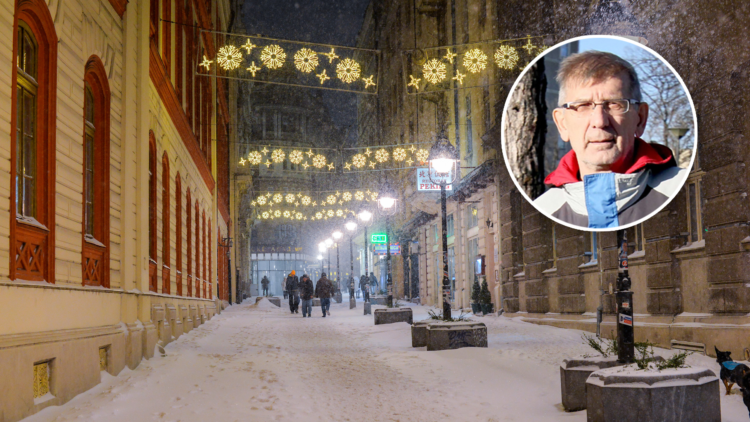
Srbija je ušla u izražen kišno-snežni period, koji će, prema najavama meteorologa, trajati najmanje do početka naredne sedmice. Količina padavina već je premašila mesečni prosek, a do ponedeljka će u pojedinim krajevima dostići i dvostruku vrednost uobičajenu za januar, rekao je za RTS meteorolog Nedeljko Todorović.
TL;DR
- Serbia is in a period of heavy rain and snow expected to last until at least early next week.
- Precipitation has already surpassed the monthly average and could double the January norm in some areas by Monday.
- A significant cold snap is coming, with Friday predicted to have the coldest morning of the year.
- Minimum temperatures in Belgrade could reach -7 to -10 degrees Celsius, with daytime temperatures slightly above freezing.
- Expect alternating warmer and colder periods with rain and snow, but without prolonged extremes.
- Snow may remain in some areas until next week, leading to icy conditions during mornings and nights.
- Icy conditions form when snow partially melts during the day and refreezes at night, posing traffic hazards.
- A final assessment of winter weather can only be made at the end of February, as memories of past weather can be deceptive.
- Long-term forecasts beyond 5-8 days are unreliable, and the winter is only halfway through.