U novogodišnjoj noći temperature do -7, a onda od 3. januara potpuni obrt: Evo kakvo će biti vreme do 15. januara
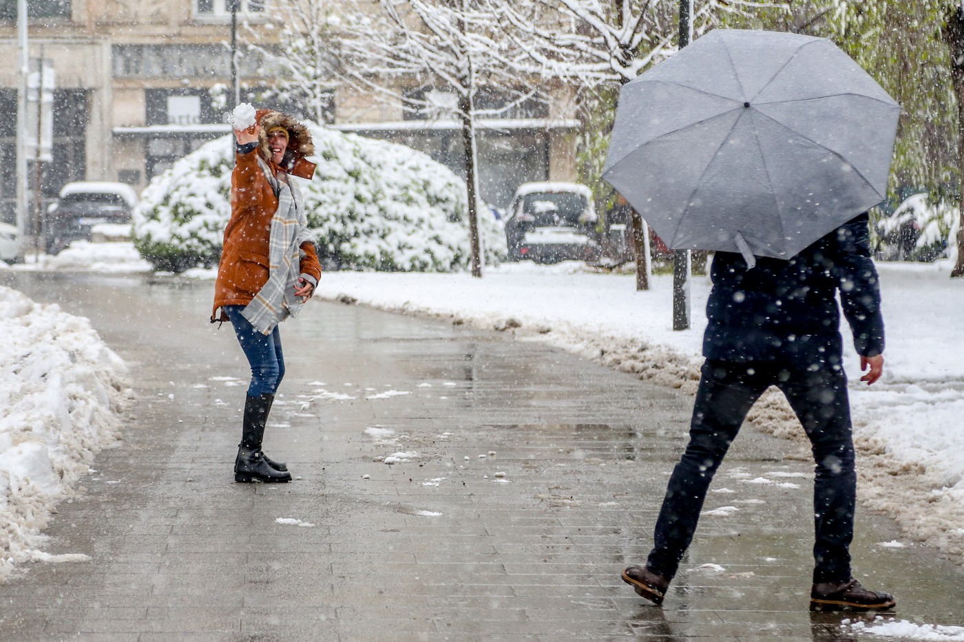
Danas, 31. decembra, hladno i promenlјivo oblačno, pre podne na severu pretežno sunčano, a u ostalom delu zemlјe pretežno oblačno uz provejavanje slabog snega ponegde na jugozapadu i jugu, kao i u brdsko - planinskim predelima. Posle podne novo naoblačenje sa severa, a uveče i u toku noći u Vojvodini ponegde slab sneg. Vetar slab i umeren, sredinom dana i jak zapadni i severozapadni. Najviša dnevna temperatura od -1 do +2 °C.
TL;DR
- December 31st: Cold and variable with light snow possible in southern and mountainous regions.
- New Year's Night: Cloudy with frost and potential light snow in Vojvodina.
- January 1st: Warmer and mostly sunny.
- Friday and Saturday: Variable weather with strong southern winds, warmer temperatures (9-14°C), and rain expected in Vojvodina and the east.
- Sunday: Precipitation expands westward, with temperatures dropping and rain turning to sleet and snow. Eastern and southeastern Serbia remain warm and dry.
- Early next week: Cloudy and colder with rain and snow.
- 30-day forecast: A temperature spike between January 3rd-6th, followed by a drop to 5-7°C during the day and sub-zero at night. Colder weather is expected until the end of January, with possibilities of further temperature fluctuations.