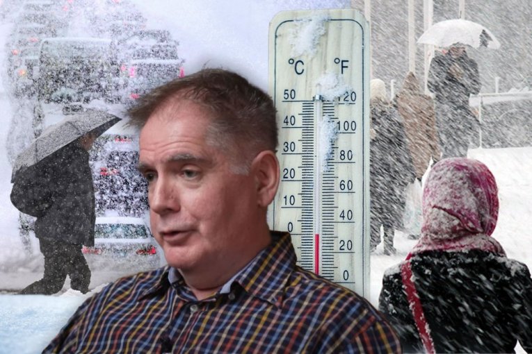
NI ZA OVAJ PRAZNIK NEĆEMO VIDETI SUNCE: Stiže brutalno zahlađenje, Ristić upozorava na "pucanje" polarnog vrtloga!
Foto: Republika, Tanjug/Charles Krupa/David Zalubowski, Shutterstock/Dainis Derics/Marian Weyo
TL;DR
- Serbia is experiencing a temporary warm spell with temperatures up to 15 degrees Celsius and strong winds.
- A cold air mass from northern Europe is expected to bring a new wave of cooling and snowfall by mid-February.
- Stratospheric changes, including stratospheric warming and a potential collapse of the polar vortex, are influencing these weather patterns.
- Colder temperatures, with highs between 0 and 5 degrees Celsius and morning frost, are predicted for the beginning of February.
- Icy days and snowfall are possible in the second decade of February, potentially affecting cities.
- The Republic Hydrometeorological Service (RHMZ) forecasts dynamic weather until the end of January with precipitation and strong winds, with yellow meteoalarm in effect for reduced visibility and possible snow cover.
- A significant cooling is not expected until the end of January and beginning of February, according to RHMZ meteorologist Mirjana Gulan.