STIŽE SNEG! RHMZ izdao upozorenje: Posle sipeće kiše sledi beli pokrivač, evo gde će pasti najviše
Srbiju u narednim danima očekuje pravi vremenski "rolerkoster". Dok je početak nedelje obeležen tmurnim i hladnim vremenom, meteorolozi najavljuju drastičnu promenu koja nam stiže već u sredu uveče.
TL;DR
- The beginning of the week will be cloudy and cold with occasional drizzle.
- Sunny weather is expected in parts of Pomoravlje, southeastern Serbia, and southern Banat on Monday.
- Tuesday will feature morning fog in valleys and mostly sunny conditions with temperatures up to 10°C, except for Timočka krajina.
- Cloudiness will increase on Tuesday evening in southwestern Serbia, signaling an upcoming change.
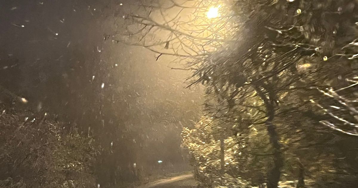
- By Wednesday and Thursday, rain will transition to snow, with eastern Serbian mountains expected to be covered in snow.
- Thursday will see a significant increase in snow cover in hilly and mountainous areas, while lower regions will experience a mix of rain and snow.
- Drivers are advised to be cautious due to wet roads and reduced visibility.
- The weekend will be characterized by the cessation of precipitation but will bring light to moderate morning frosts and fog in lower elevations.