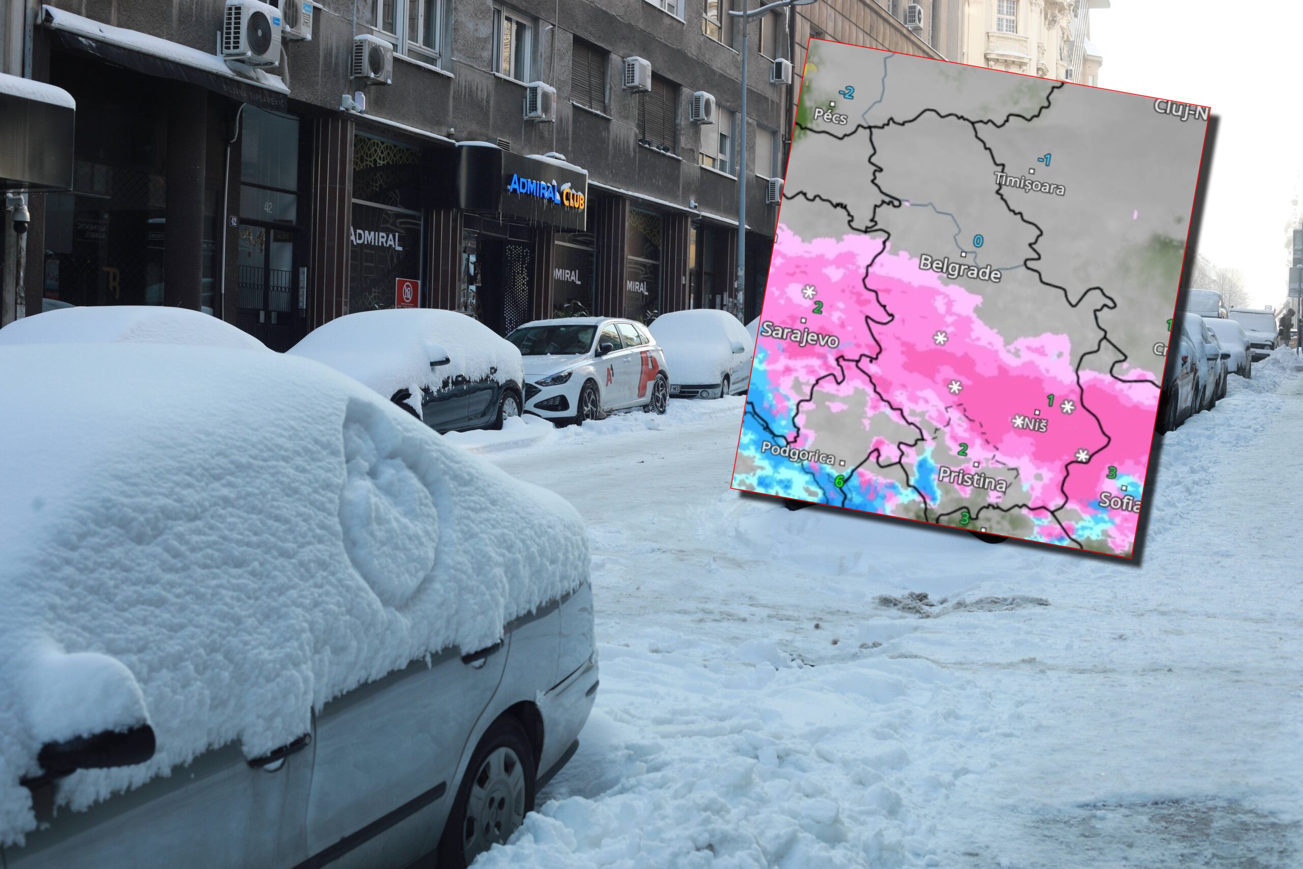
Stiže još 15 cm snega: Snimak radara pokazuje u kojim delovima Srbije i u koliko sati će danas najviše padati sneg
Republički hidrometeorološki zavod Srbije upozorio je da će danas biti novih padavina.
TL;DR
- New precipitation is expected today across Serbia.
- Snow is forecast for western, southwestern, and mountainous regions.
- Rain, sleet, and snow are expected in other parts of the country, transitioning to snow in the afternoon and evening.
- 10-15 cm of new snow is predicted for the southwest, south, and east of Serbia, with more in mountainous areas.
- Temperatures will range from -3°C in northern Vojvodina to 4°C in southern Serbia.
- Sunday will be cloudy and cold with light snow in some areas and strong northwesterly winds in the east.
- The beginning of next week will be cold and dry with partial clearing and moderate to severe frost.
- Morning frosts will weaken and daily temperatures will rise starting Wednesday.