weather
Pogledajte ciklon nalik uraganu nadomak Evrope: Kreće se ka ovom delu, prete poplave, bujice i olujni vetrovi
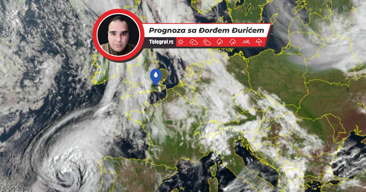
Veoma snažan ciklon sve više približava se jugozapadu Evrope. Ciklon se nalazi iznad Azorskih i Kanarskih ostrva, sa centrom u blizini Madaire.
TL;DR
- A powerful cyclone is approaching southwestern Europe.
- The cyclone is currently located over the Azores and Canary Islands, near Madeira.
- It brings storm winds of 100 km/h, heavy rains, and high waves up to 10 meters.
- Over 100 liters of rain have already fallen on the Canary Islands, causing urban flooding.
- The cyclone is moving towards the Iberian Peninsula (Spain, Portugal) and northern Morocco.
- Severe thunderstorms, heavy rains, and high waves are expected in these areas.
- Snow is forecast in mountainous regions.
- The cyclone will enter the western Mediterranean with heavy thunderstorms.
- A cold air mass following the cyclone will bring snow to lower areas in Spain and Portugal.
- Temperatures above 15 degrees Celsius will only remain in southern Spain and Portugal.
- Snow is expected on the mountains of Mallorca.