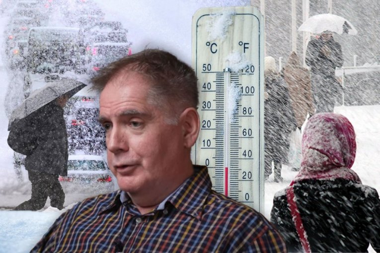
SRBIJA NA UDARU POLARNE ZVERI! Vrtlog steže obruč, ciklon sa Jadrana donosi ledene dane! Od ovog datuma čeka nas najgori udar zime!
Foto: Republika, Tanjug/Charles Krupa/David Zalubowski, Shutterstock/Dainis Derics/Marian Weyo
TL;DR
- Serbia is transitioning from warm air to a colder period with temperatures below average.
- Meteorologists anticipate a shift to true winter weather with frequent snow and icy days.
- The polar vortex is expected to reposition, allowing cold air to bring snow to the Balkans and Serbia.
- Snowfall may be significant around January 2nd, suitable for skiing and leading to icy days.
- The Republic Hydrometeorological Service reported cloudy skies with light rain and snow in some areas.
- Rain is expected to turn into sleet and snow in lower-lying areas of southern and central Serbia.
- Strong winds are predicted in certain regions, while others will experience light to moderate winds.
- Further cooling is expected with strong cold easterly winds and snowfall.
- Meteorological models suggest a period after New Year's could bring more snow and frequent icy days to Europe.
- Amateur meteorologist Marko Čubrilo forecasts colder weather with maximum temperatures ranging from -3 to 4 degrees Celsius.
- Precipitation is expected to cease on Friday, followed by dry but cold weather until the end of the year.
- Strong northwesterly winds will begin over the weekend.
- There's a possibility of a significant cold snap and snow around Julian calendar Christmas.
- January is predicted to be colder than average, increasing the chances of sustained and heavy snowfall.
- Further cooling and snow are possible around New Year's.