STIŽE NAM JAK SNEŽNI TALAS! Meteorolog otkrio
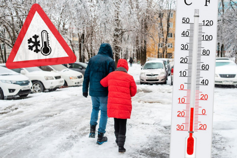
Da se približavamo periodu ozbiljnijih snežnih padavina ne pokazuju samo meteorološke prognoze i početak januara, već i niz hladnih dana sa temperaturama ispod nule koji su se nizali u prethodnom periodu.
TL;DR
- Meteorological forecasts and recent cold snaps indicate an approaching period of significant snowfall.
- From January 5th to 8th, a Mediterranean cyclone is expected to bring waves of snow across most of Serbia.
- Lowland regions may accumulate 10-25 cm of snow, with mountainous areas potentially receiving 25-55 cm.
- Precise snowfall amounts cannot be determined until January 3rd, and travelers are advised to be aware of conditions.
- The Republic Hydrometeorological Service (RHMZ) forecast also indicated changing weather with rain turning to snow and sleet in central regions.
- Sunday's RHMZ forecast predicted cold weather with snow accumulation, particularly in western, central, and southwestern areas (10-20 cm, locally up to 30 cm).
- Warmer conditions with rain were expected to persist in southern regions initially, but snow was predicted for these areas mid-week with further temperature drops.