Spremite se! Orkanski vetar, kiša, u jednom delu zemlje i LEDENA KIŠA: Narednih dana 17 stepeni, pa ZAHLAĐENJE
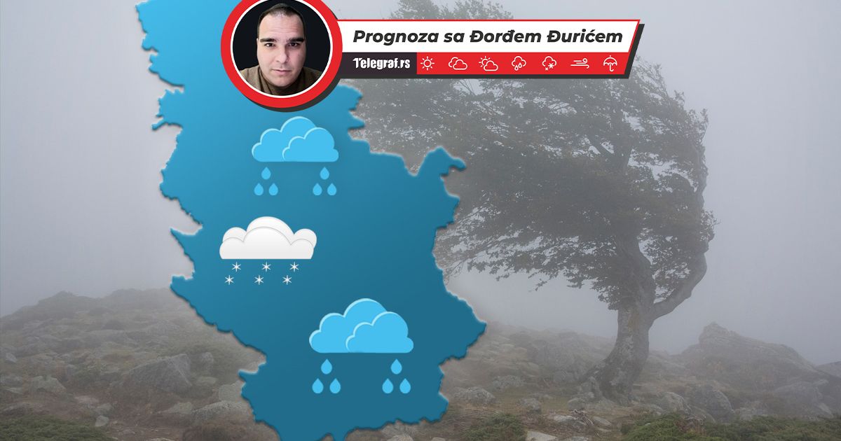
Srbiju narednih dana očekuje znatno toplije vreme. Očekuju se česta prolazna naoblačenja sa kišom i pljuskovima, jer će naše područje biti pod uticajem snažnih ciklona sa Jadranskog mora i zapada Mediterana.
TL;DR
- Serbia will experience significantly warmer weather in the coming days.
- Cyclones from the Adriatic Sea and western Mediterranean will bring rain and thunderstorms.
- Eastern Serbia will remain cold with icy rain and snow, ranging from -5 to -1°C.
- Temperatures in other parts of Serbia will range from 6 to 14°C, potentially reaching 17°C on Thursday and Friday.
- The warmest conditions will be in western Serbia and Podrinje due to the Foehn effect of southern winds.
- Strong southeastern winds are expected, with gale-force gusts in the Košava region, potentially exceeding 100 km/h in southern Banat.
- The weekend will be cooler but still relatively warm.
- A cooling trend is anticipated at the beginning of next week.
- Warm air masses from the Atlantic and Mediterranean are preventing a polar air mass over eastern and northeastern Europe from reaching Serbia.