IT STARTS TONIGHT, AND TOMORROW A REAL SHOCK FOLLOWS! RHMZ ISSUES WARNING FOR GUSTY WINDS AND SNOW: SEE WHAT AWAITS US IN THE COMING DAYS, ONE DATE IS KEY!
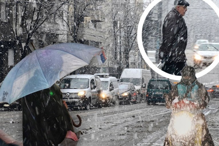
Photo: Tanjug/ Vladimir Šporčić, Tanjug/ Aleksandar-Palajic
TL;DR
- Stronger cloud cover expected tonight, bringing rain and snow to higher elevations.
- Wind will be moderate, increasing in košava and mountain areas, with potential storm-force gusts in Banat and Podunavlje.
- Tomorrow will be cloudy and colder with intermittent rain; snow is expected on high mountains.
- Rain will turn to sleet and snow from north to west in the late afternoon/evening as temperatures drop.
- A small snow cover is possible in lower western and northern Serbia, with increased cover in mountain regions.
- Saturday will bring a cold morning with possible light frost and weak snow in the south and east, followed by dry and cold conditions with partial clearing.
- Sunday and Monday will be variably cloudy and dry.
- New cloud cover with rain is forecast for Monday evening/night, expanding across the country by Tuesday.
- Stabilization of weather with dry conditions, higher temperatures, and sunny intervals expected from Wednesday.