TAČNA SATNICA! Radarski snimci se zacrveneli
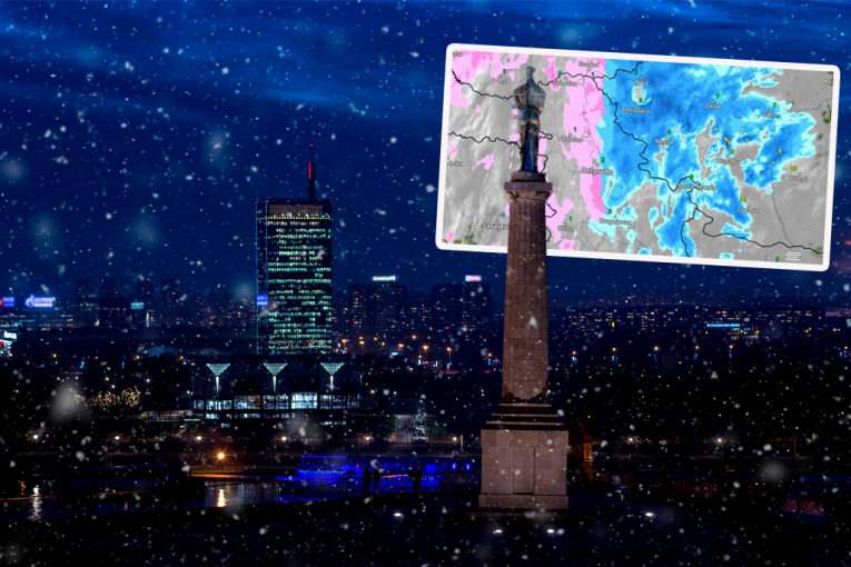
Prema radarskim snimcima sa sajta Vreme radar, večeras tačno u 19 časova na jugu Srbije počeće da pada kiša, što predstavlja uvod u vremenske prilike koje će obeležiti narednih 48 sati. Tokom noći padavine će se postepeno širiti ka ostalim delovima zemlje, a ponegde će kiša prelaziti i u sneg, pa bi se u četvrtak ujutru mnogi mogli probuditi u pravom zimskom ambijentu.
TL;DR
- Rain is expected to begin in southern Serbia tonight at 7 PM and spread across the country over the next 48 hours.
- Precipitation may turn into snow in some areas, leading to a wintery scene on Thursday morning.
- Eastern Serbia could experience icy rain and snow, while Belgrade anticipates heavy showers around 8 AM on Thursday.
- Snow is forecast for Wednesday evening in the south, southwest, and southeast, spreading to almost the entire country by 11 PM.
- The Republic Hydrometeorological Institute predicts cloudy weather with rain on Wednesday, snow in eastern Serbia's mountains, and possible snow cover formation.
- New precipitation is expected again from the south and east by the end of Wednesday and into Thursday, with rain in lower areas and snow in higher elevations.
- Thursday will see snow with potential snow cover, while rain is expected in lower areas, especially in northern Serbia.
- From Friday, dry weather with morning frosts and fog is predicted.
- Croatia may experience snow for Christmas, a phenomenon not seen in continental areas since 2010.
- A Rex block is expected to bring colder air to Central Europe and the Balkans, including Serbia and Croatia.
- Heavy precipitation, up to 100-150 millimeters of rain by Friday, is predicted for the northern and central Mediterranean, including the Adriatic.